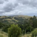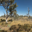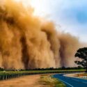
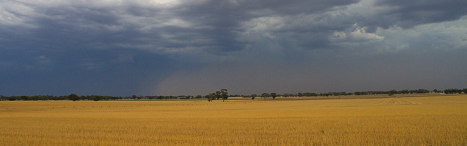


Mapping vulnerability to climate change
Over recent months we have been working with Spatial Vision to examine the potential impacts of climate change across seven Victorian CMA regions. Together we developed a novel, rigorous and transparent method of vulnerability assessment that has generated spatial views of exposure, sensitivity, potential impact, adaptive capacity and vulnerability for a range of NRM assets. The results are relevant to two emissions scenarios (RCP 4.5 and RCP 8.5) and four timeframes, 2030,2050,2070 and 2090. In addition to the integration of biophysical data, a range of socio-economic information has also been modelled to support comprehensive assessment of priority projects and actions, through explicit consideration of important criteria including feasibility, landholder adoption and risk.
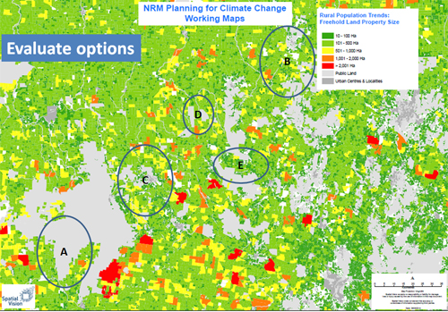
Spatial integration of biophysical and socio-economic data is important for supporting climate change planning.
The results of the project will assist CMAs in stakeholder engagement around climate change and climate variability, providing another tool to assist with transparent and robust NRM decision making.
To learn more about the project methodology click here or contact Geoff Park at Natural Decisions – geoff.park@naturaldecisions.com.au or 0418 138 632
The seven Catchment Management Authorities utilising the data are the Mallee, Wimmera, North Central, Glenelg-Hopkins, Corangamite, Port Phillip Westernport and East Gippsland. We began work on the project in conjunction with the CMAs in March 2014 and completed the work in July. The project was managed by the Corangamite CMA on behalf of the participating CMAs.
Posted 6 August 2014 in News